Photo by Whitehorse Star
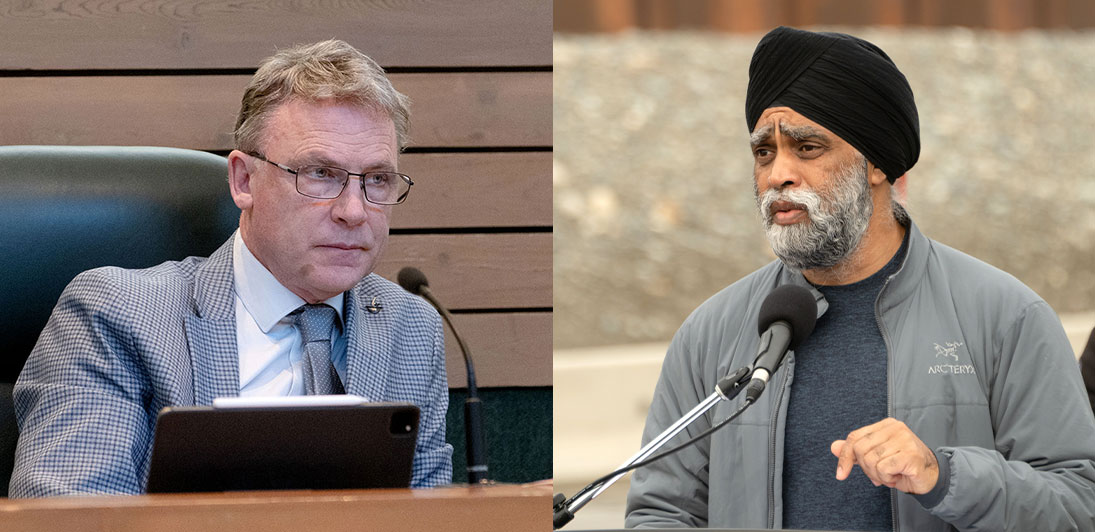
Richard Mostyn and Harjit S. Sajjan
Photo by Whitehorse Star
Richard Mostyn and Harjit S. Sajjan
The sum of $3.5 million will be spent over the next four years to support flood hazard mapping in the Yukon.
The sum of $3.5 million will be spent over the next four years to support flood hazard mapping in the Yukon.
The announcement was made May 6 by Community Services Richard Mostyn, on behalf of Environment Minister Nils Clarke.
Also participating in the Whitehorse event was Harjit S. Sajjan, the federal minister of Emergency Preparedness and Minister responsible for the Pacific Economic Development Agency of Canada (PacifiCan).
He represented Jonathan Wilkinson, the federal minister of Energy and Natural Resources.
“Flood hazard maps provide essential information that enables governments, communities and individuals to recognize flood hazards and employ effective mitigation strategies to reduce the impacts of flooding,” the two governments said in a statement.
“The Governments of Canada and Yukon are committed to working together to provide high-quality flood mapping that is current and accessible, that informs land use planning, adaptation efforts and reduces flood risks in the future.”
In Canada, flooding is the most common and costly natural disaster, causing damage to households, property and infrastructure.
The federal funding comes from the Flood Hazard Identification Mapping Program (FHIMP).
As committed to in Our Clean Future, the Yukon government is already working towards producing flood maps for all the identified flood-prone Yukon communities.
“Many First Nations in the Yukon hold important insights into flooding history and have traditional knowledge that can strengthen the accuracy of flood maps for their communities,” the governments said.
“Today’s joint investment will enable the Government of Yukon to continue to work directly with First Nations governments, municipalities and communities to develop flood maps for remaining flood-prone Yukon communities.”
Draft flood hazard maps and engagement have been completed for Carmacks, Carcross, Tagish, Marsh Lake, and Lake Laberge.
The final maps will be published in the Yukon government ’s Flood Atlas this summer.
Upcoming flood hazard mapping is planned for Old Crow, Dawson City, and the Klondike Valley, with work occurring in 2024 and 2025.”
“Our government is committed to enhancing the resiliency of Yukon communities to the impacts of climate change,” Clarke said.
“As part of this, we recognize the need for communities to have an increased understanding of flood risks.
“Through the Yukon’s climate strategy, we aim to identify flood hazards and help mitigate flood impacts to property, infrastructure, and public safety.”
Wilkinson said the higher risk of flooding “is one of many threats that climate change poses to Yukon, and it is a risk that the Government of Canada takes very seriously.
“We are collaborating closely with provinces and territories to support flood hazard mapping that helps safeguard crucial infrastructure, minimizes disruptions to local economies and improves public safety.
“We appreciate the continued dedication from the Government of Yukon to deliver essential flood hazard information in order to reduce the impacts of flooding for Yukon communities.”
As the Yukon faces the growing threat of flooding, added Sajjan, “it’s essential that communities have access to accurate and reliable information to prepare for the unexpected.
“This critical investment in flood mapping will empower local governments, residents, businesses, and emergency responders with the knowledge they need to stay safe and take proactive steps to mitigate the impacts of climate-related disasters.”
The 14 flood-prone communities identified for flood hazard mapping in the Yukon are Teslin, Carcross, Tagish, Marsh Lake, Lake Laberge, Upper Liard, Mayo, Pelly Crossing, Ross River, Whitehorse, Carmacks, Dawson, Klondike Valley and Old Crow.
“(The May 6) announcement marks a significant advance in our shared commitment to enhancing safety and emergency preparedness in Yukon,” said Yukon MP Brendan Hanley.
“Flood maps are essential tools in our toolkit that help us better understand and mitigate flood impacts on our communities.
“Thank you to the Government of Yukon for their ongoing efforts to create a safer and more resilient future for all.”
In order to encourage thoughtful and responsible discussion, website comments will not be visible until a moderator approves them. Please add comments judiciously and refrain from maligning any individual or institution. Read about our user comment and privacy policies.
Your name and email address are required before your comment is posted. Otherwise, your comment will not be posted.
Be the first to comment